Train in a Land of Incredibly Diverse Beauty.
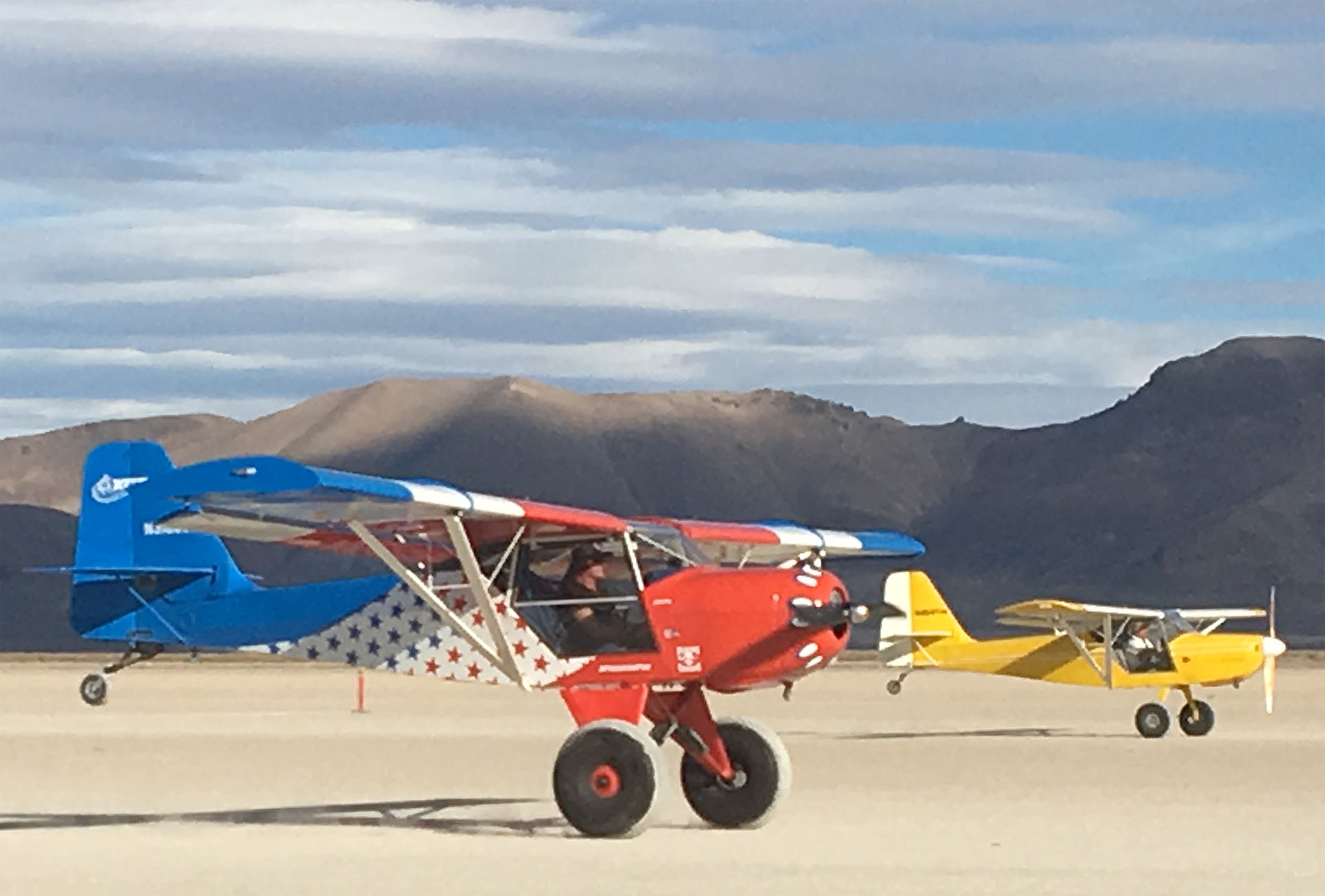
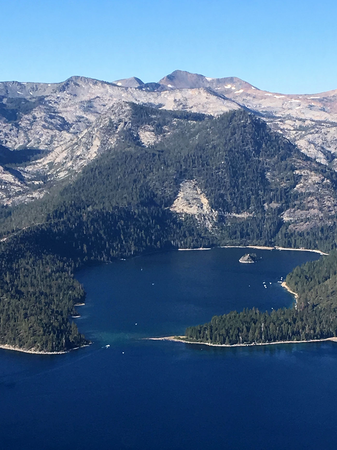
Our Reno/Lake Tahoe operation is based at the Reno-Stead Airport (KRTS). The Reno Air Races have been held here each year since 1964. During October, the High Sierra Fly-In attracts the largest gathering of backcountry pilots in the world. The diverse beauty of northwest Nevada, Lake Tahoe, and the Sierra crest provide a stunning backdrop. Fun airports and landing spots abound. All in all, it's a great venue for all types of flight instruction.
The Reno-Tahoe International Airport makes travel here easy. Clients from out of the area find an abundance of hotels and good restaurants in both downtown Reno and the mountain resorts nearby. All-in-all, it's a great place for a flight training vacation! Explore our Resources page for travel information.
NOTE - This website and map are not intended to replace official sources, navigational information or charts required for safe and legal flight.
INTERACTIVE MAP: Use the map to pan routes then click the Satellite button and zoom-in to get a close aerial view. Computer browsers can go Full Screen by clicking the icon in the top right corner. Search or jump to airstrips using the list below. Clicking any map icon brings up more information.
Title | Description |
---|---|
Alpine County (M45) | Elevation: 5772 ft Length: 4400 ft |
Black Rock City (88NV) - Home of Burning Man | Elevation: 3912 ft Length: 7000 ft |
Blue Canyon (KBLU) | Elevation: 5284 ft Length: 3300 ft |
Carson (KCXP) | Elevation: 4705 ft Length: 6100 ft |
Dayton Valley (A34) | Elevation: 4414 ft Length: 5300 ft |
Dead Cow - Home of the High Sierra Fly-In | Elevation: 4845 ft Length: 3000 ft |
Derby (KLOL) | Elevation: 3908 ft Length: 5500 ft |
Empire (18NV) | Elevation: 3990 ft Length: 3800 ft |
Fallon (KFLX) | Elevation: 3966 ft Length: 5700 ft |
Gansner (2O1) | Elevation: 3419 ft Length: 4100 ft |
Georgetown (E36) | Elevation: 2625 ft Length: 3000 ft |
Herlong (H37) | Elevation: 4062 ft Length: 3200 ft |
Lake Tahoe (KTVL) | Elevation: 6268 ft Length: 8500 ft |
Minden-Tahoe (KMEV) | Elevation: 4724 ft Length: 7400 ft |
Nervino (O02) | Elevation: 4900 ft Length: 4600 ft |
Nevada County (KGOO) | Elevation: 3158 ft Length: 4600 ft |
Placerville (KPVF) | Elevation: 2585 ft Length: 3900 ft |
Reno-Stead (KRTS) - Our Nevada Base | Elevation: 5050 ft Length: 9000 ft |
Reno-Tahoe International (KRNO) | Elevation: 4415 ft Length: 11000 ft |
Rogers (O05) | Elevation: 4534 ft Length: 5000 ft |
Sierraville (O79) | Elevation: 4984 ft Length: 3200 ft |
Silver Springs (KSPZ) | Elevation: 4265 ft Length: 6000 |
Spanish Springs (N86) | Elevation: 4620 ft Length: 3400 ft |
Spaulding (1Q2) | Elevation: 5616 ft Length: 4600 ft |
Susanville (KSVE) | Elevation: 4149 ft Length: 4000 ft |
Tiger (N58) | Elevation: 4346 Length: 4000 |
Truckee-Tahoe (KTRK) | Elevation: 5901 ft Length: 7000 ft |
Yerington (O43) | Elevation: 4382 ft Length: 5800 ft |