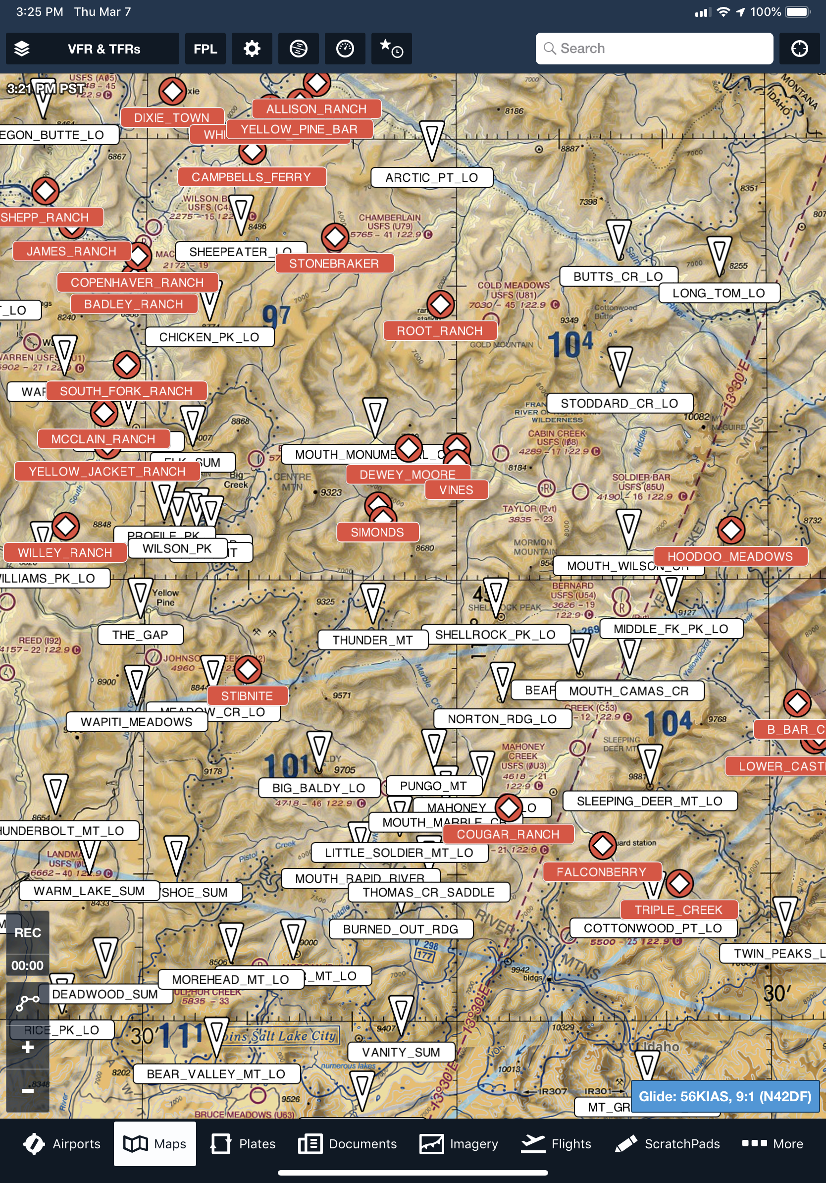
Those who fly in the central Idaho wilderness may appreciate a couple of files we've recently developed. Pictured above, these files can be imported into popular apps, such as Foreflight, to supplement and overlay base aeronautical maps and aerial imagery. The first file, ID Points, includes numerous geographic features, some of which are commonly used as reporting points. The second file, ID Strips, includes public, private and closed airstrips, that do not otherwise appear on current charts. Regardless of their status, knowledge of their whereabouts might come in handy during an inflight emergency. Used with official sources of navigational data, these overlays are intended to provide our fellow backcountry pilots with useful additional situational awareness. We make no warranty regarding the accuracy of the data represented in either file. Those wishing to receive these files should request them using our Contact Us page.